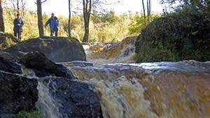
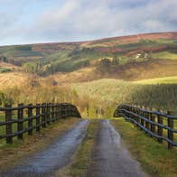
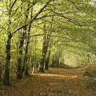
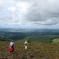
This loop is one of three which start and finish at the Glenbarrow trailhead, key features include a section of riverbank along the River Barrow, a spectacular 3 tiered waterfall and natural woodland that in spring is ablaze with bluebells.
Directions to Trailhead
A-B. Start from the trailhead at Glenbarrow car park and follow the blue and green and red arrow onto a downhill track. You are also on the Slieve Bloom Way (marked with yellow arrows). After 200 metres reach the end of the downhill track and enter Glenbarrow Woods via wooden railings. After 200 metres take a right turn to a wooden footbridge and, after crossing the footbridge, turn left onto the bank of the River Barrow.
B-C. Follow the riverbank for 500 metres to the next wooden footbridge and cross it to a marker post. Take a right here. After 100 metres you pass the flat rock at a wooden hut. Continue to follow the well worn path upriver and past the superb 3 tiered Clamp Hole waterfall. [Note that walkers on the green loop turn about here and return to the trailhead.]
C-D. Continue to follow the path upriver. Approximately 500 metres from the waterfall the Slieve Bloom Way turns downhill to the right (towards a footbridge). You proceed straight on at this point.
D-E. After 100 metres, your path splits on a bend. The red loop (on its outward journey) veers right and crosses a small stream into forestry, but you follow the path around to the left and uphill.
E-F. After a steep uphill climb, you join a forestry road where you rejoin the red loop on its homeward journey. Turn left on the forestry road to a 3 way junction with a forestry track on the right. Veer right here.
F-A. Proceed uphill until you reach another forestry road on your right. Directly opposite it (on your left) is an entrance onto a downhill woodland path. Take this path and follow it downhill through a mix of coniferous forestry and natural woodland, exiting at a forestry road at a barrier. Take a right here and follow the road for 200 metres back to the trailhead to Glenbarrow car park.
Trail details
- Type:
- Walking Trail
- Location:
- Glenbarrow Wood
- Grade:
- Strenuous
- Format:
- Loop
- Length:
- 4.20km
- Ascent:
- 30m
- Dogs allowed:
- Yes
