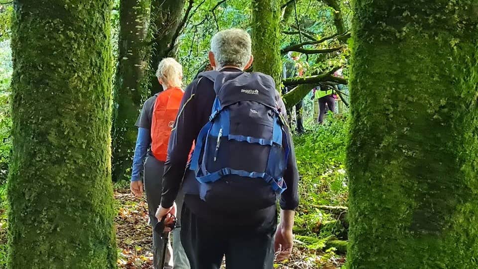
Mount Hillary has a commanding views of central Munster, especially the Blackwater valley to the east, and of the Boggeragh Mountains to the south. From certain viewing points the villages and towns of Banteer, Kanturk Meelin and Taur can be seen – as can the mountain ranges of Mullaghareirk, Ballyhoura, and the Galtees. The loop travels mostly through Scots Pine plantation with Giant Monterey Pine cropping up here and there. Some trees were introduced to Mount Hillary include the Tsuja, Thuja Plicata, and the Sequoia Tree (Coast Redwood) and the Australian Eucalyptus tree. Broadleaf varieties include Beech, Larch, Rowan, Holly, and Silver Birch. Four legged inhabitants include the Red Fox, Badger, Hare, Rabbit, Stoat, and the native Red Squirrel. Birdlife includes the Golden Eagle, the Jack Snipe, the Skylark, the Cuckoo, the Song Thrush and the Short-eared Owl.
A-B. The loop starts from a car park at an entrance to forestry in Knightfield on the northern slopes of Mount Hillary. Enter the forestry via the barrier and follow the green arrow. You are also following blue and red arrows which are for longer loops. Ascend gently for 100m to reach a crossroads. Turn right here.
B-C. Follow the forestry road for 1.5km to reach an uphill track on your left. All three loops turn left here and after a short uphill climb, emerge onto another forestry road. Here the blue and red loops turn right. You turn left.
C-D. Follows the forestry road for 2km to a 3-way junction where you rejoin both the blue and red loops. Turn left here.
D-A. Descend along the forestry road – passing straight through the crossroads where you began your outward journey. The trailhead is only another 100m.
Trail details
- Type:
- Walking Trail
- Location:
- Mount Hillary
- Grade:
- Easy
- Format:
- Loop
- Length:
- 2.90km
- Ascent:
- 130m
- Dogs allowed:
- Yes
