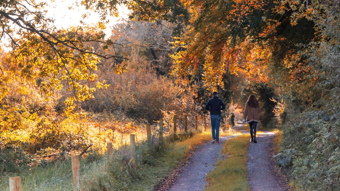
This is the second loop which starts and finishes at the Mullaghareirk trailhead, woods entrance, Knightfield, Banteer, County Cork
A-B. Facing the mapboard turn left and follow the green (and blue) arrows along the forestry road beside the Glashawee River. After 1km you reach a sharp left bend – turn left here.
B-C. Follow the forestry road south for another 1km to reach a T-junction of tracks. Turn left and head west for 500m where the loop swings sharp left facing north again. After 100m, you reach a 3-way junction where the blue loop turns right. You proceed straight here.
C-D. Continue to follow the forestry road for 2km to a 3-way junction where you rejoin the blue loop coming from your right. Turn left here.
D-A. The trailhead is only 500m.
Trail details
- Type:
- Walking Trail
- Location:
- Mullaghareirk Loop Walks
- Grade:
- Moderate
- Format:
- Loop
- Length:
- 7.10km
- Ascent:
- 100m
- Dogs allowed:
- Yes
Time:2 hours
Nearest town start:Meelin
Nearest town finish:Meelin
Start point:Mullagharriek Forest car park
Finish point:Mullagharriek Forest carpark
Waymarking:Blue arrow
