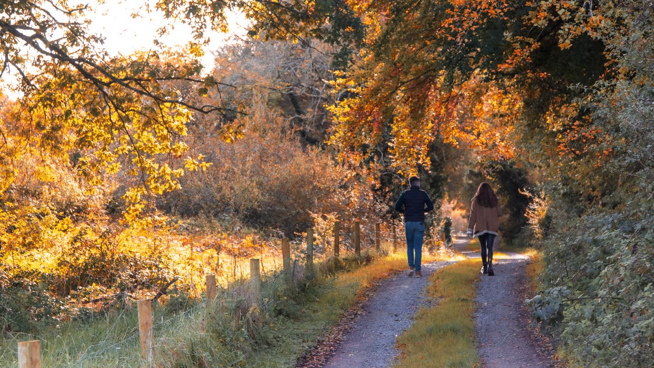
This loop combines spectacular scenery, remote wilderness, and a variety of terrain that includes panoramic views of high mountains, a heavenly valley, wild vegetation and crystal clear rivers and streams. On the outward journey the walker has wonderful views towards Glenhest and Newport to the South and, on the return section, panoramic views of North Mayo all the way to the Atlantic. Starting from Bellanderg Bridge west of Nephin, the walker follows the old road towards Newport, starting on a surfaced lane, then onto a wide grass covered track. A section along riverbank takes the walker into the the remote and stunning Glendorragha Valley. The route then ascends to a mountain pass by Knockaffertagh and descends to meet a farm track and minor road back to the trailhead.
A-B. Starting from Bellanaderg Bridge cross the bridge over the Boghadoon River and turn left. Follow the surfaced roadway for approximately 500m to reach a 3-way junction. Continue straight here onto a laneway through the townland of Derreen.
B-C. After approx 2km the laneway gives way to a ‘green roadway’ - once the main road to Newport - which takes you along the shoulder of Letterkeeghaun.
C-D. Follow the green road for almost 3km, to pass a concrete water tower on your right. Turn right here.
D-E. Follow the line of a wire fence for 200m and then cross a short open section to reach the banks of a river at superb waterfall. Turn right and enjoy the views of some superb waterfalls as you travel along the right bank of the river into Glendorragha Valley.
E-F. After 1km along the riverbank watch for a line of old wooden fence posts on your right – these mark the point where you turn right and begin a long ascent over the Knockaffertagh Pass.
F-G. Follow the fence posts to join the right bank of a tributary stream. The loop follows the route of the stream to reach the summit of the mountain pass. Keeping left on your way through the pass, the descent follows sheep tracks along the shoulder of Knockaffertagh, eventually joining a farm laneway at a metal gate.
G-A. The loop follows the old laneway past some derelict farmhouses to join a surfaced roadway for the last section back to the trailhead.
Trail details
- Type:
- Walking Trail
- Location:
- Keenagh
- Grade:
- Strenuous
- Format:
- Loop
- Length:
- 11.00km
- Ascent:
- 250m
- Dogs allowed:
- No
