In the Irish language Tourmakeady (Tuar Mhic Éadaigh) means ‘the bleach field of MacCeadaigh’ (Keady family). The bleach field was an area where flax was laid out in the sun, bleached and dyed prior to spinning. Today, neither the Keadys or flax growing continue here – but Tourmakeady is still famous for its textile industry, and Gaeltarra Knitwear sweaters are to be found in all the world's best known fashion centres. Tourmakeady is only a small town land located within the largest Gaeltacht (Irish speaking) region in Ireland. It is situated between the Partry Mountains and Lough Mask in County Mayo – and close to Croagh Patrick, the Holy Mountain associated with Saint Patrick. The parish extends from Dereendafderg (the little oak wood of the red ox) to Derrypark (the field of the oak) - which gives clues that in ancient times Tourmakeady was covered in oak forest. In the time of the Great Famine (mid-1840s) the plight of starving tenants and their struggle with English landlords dominates the history books – and Tourmakeady experienced a high level of emigration. Many descendants of emigrants return to this region every year to find their roots. In 1950 a state sponsored body started a knitwear industry which became an important influence in Tourmakeady.
This loop starts from the village and takes you through Tourmakeady Wood – the highlight is a spectacular waterfall which you pass en-route.
A-B. With your back to the Community Centre turn left and follow the purple arrows along main road for 300m (passing O’Tooles shop) to reach the entrance to the Millenium Forest. Turn right (into the forestry) and follow the surfaced roadway for almost 1km to reach the car park. At the main Information Board veer right.
B-C. After 20m pass through a wooden gateway and follow the forestry roadway for 500m to reach a 3-way junction on a right bend. Turn left here and (after passing through the metal barrier) continue straight for 100m to reach a woodland track on your right. Turn right here and follow the path along the lakeshore. This short section rejoins a forestry roadway where you turn left. After 200m the loop swings left at a 3-way junction, and after another 200m turns left again and passes through a metal barrier.
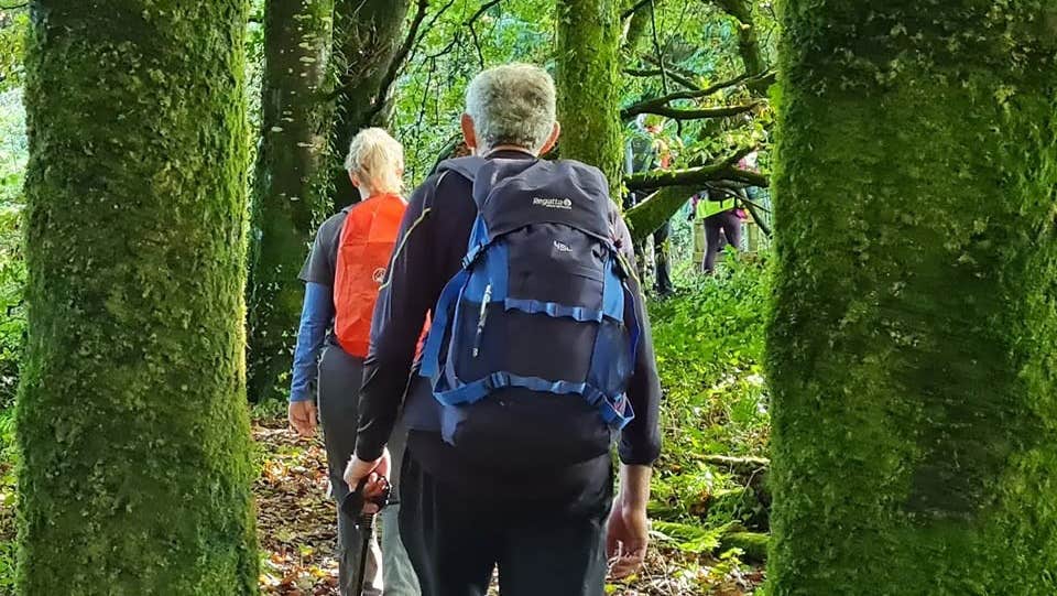
C-D. Continue to follow the purple arrows as the forestry roadway takes you along the other side of the lake. After 500m continue straight on at a 3-way junction and after another 200m reach the end of the sanded roadway. Here the loop passes through a wooden gateway and joins a woodland path for a very pleasant section through some broadleaf woodland. After 500m the woodland path ends at a wonderful waterfall. Enjoy the scene before joining a sanded forestry roadway.
D-A. Follow the forestry roadway for 1km to regain the car park from where you began the loop. This time turn right at the main Information Board and enjoy the last 1km back to the trailhead.
Trail details
- Type:
- Walking Trail
- Location:
- Tourmakeady
- Grade:
- Easy
- Format:
- Loop
- Length:
- 3.90km
- Ascent:
- 80m
- Dogs allowed:
- Yes
