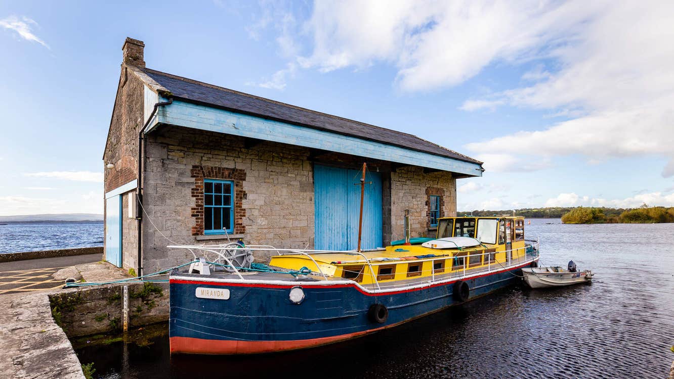
This tranquil nature walk passes through an area of natural beauty and rolling countryside abundant with all manner of Irish river wildlife, including the mute swan, Ireland’s largest indigenous bird, which gives the walk its name.
Directions to trailheads:
As this is a linear route, there are two trailheads. The first is located in the centre of Dromineer village. The other start/finish point is located at Scotts Bridge just 2.5km from Nenagh along the N52 Nenagh-Borrisokane Road. The access point is just before the junction of the N52 and R493 to Puckaun and Terryglass.
Routes:
A-B: Starting at Dromineer, take the road south passing the Whiskey Still pub. Caution is advised on the first section, which follows local and regional roads for 3.5km as far as Annaghbeg Bridge. These roads may be quite busy with traffic, particularly in the summer. After 750m, turn left at the water pump and left again at the intersection of the Dromineer-Nenagh Road. The house at the intersection here was formerly a soup kitchen during Famine times. Continue along the road until you reach the access point for the riverbank at Annaghbeg Bridge.
B-C: Follow the green arrows along the riverbank. The mill race and the ruins of Ballyartella Mill are designated national monuments. Ballyartella Bridge is a fine example of a surviving medieval five-arch stone bridge, the present structure dating from around 1720. The area at Ballyartella Bridge provides a picnic area overlooking the weir and there is a Visitor Centre and shop at the nearby Hanly Woolen Mills.
C-D: Cross the road at Ballyartella, and pass through the gap beside the ruins of a 16th-century tower house. The final 4km to Scotts Bridge is a peaceful riverside walk which emerges only briefly onto the road at Clarianna Bridge. The Nenagh River, which rises in the Silvermines Mountains, holds excellent stocks of brown trout so you may pass anglers on this section, but it should be noted that fishing rights belong to a local club. The walk emerges on a busy national road at Scotts Bridge, hence, walking into Nenagh from this point would not be recommended.
Note: As this is a linear point-to-point walk, you may require a car pickup to be organised at the finish point. Additional local loop walks are also available in the Dromineer area.
Note also that your journey will take you through working farms, so you may pass grazing cattle, sheep or horses. Always follow the Farmland Code.
Trail details
- Type:
- Walking Trail
- Location:
- Lough Derg Blueway
- Grade:
- Easy
- Format:
- Linear
- Length:
- 10.40km
- Ascent:
- Minimalm
- Dogs allowed:
- Yes
This is a linear walk so make sure to arrange transportation for when you reach the end.
