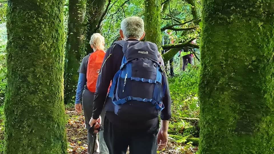
The village of Doonbeg is situated in West County Clare and nestled on a magnificent coastal expanse. The village is reputed to be the longest village in Ireland Overlooked - the central point is an old stone bridge which crosses the Doonbeg river. This is a place where tradition and hospitality is still on offer to the visitor. If you’re the active type you can try boating, angling, surfing, or golfing in the area – if you prefer to relax you can sit in cosy local pubs which offer traditional music for which Clare and the Doonbeg area are famous.
A-B. Starting from the mapboard, follow the purple (and green) arrow out of Doonbeg village. The green arrows are for the shorter Doonbeg Loop. After 750m the green loop turns left at a minor roadway on your left. You continue straight ahead here - leaving the green loop as you do. Follow the surfaced road for another 200m to reach a sandy roadway on your left - turn left here.
B-C. The loop follows the bog roadway for almost 1km to reach a sharp right bend - and continues for another 500m to reach a T-junction. Turn right but almost immediately turn left again. Follow this roadway for 1km to a 3-way junction where you turn left, walk 1km to a T-junction and turn left again and after another 1km reach a 5 road junction. Turn right here.
C-D. The loop follows a surfaced road for 200m before veering right onto a bog road which takes you through the townland of Tullaher. Follow it for 2km to reach a roadway where you turn left - another 1km takes you to a surfaced road where you turn right. Stay on this road for 1km to reach a road junction where you turn sharp left.
D-E. 2km trek takes you to a crossroads - go straight across and veer left at a Y-junction after 200m. 2km later you go straight on at another crossroads. After 250m you reach a 3-way junction with a roadway on your left - here you rejoin the Doonbeg Loop (green arrows) for the rest of the trip back to the trailhead.
E-A. For the next 1km the loop follows the bog roadway past three tracks and crosses the Doonbeg River. Another 1km takes you back to the main road on the east of the village. Turn left and enjoy the last section back to the trailhead.
Trail details
- Type:
- Walking Trail
- Location:
- Doonbeg Loops
- Grade:
- Moderate
- Format:
- Loop
- Length:
- 16.50km
- Ascent:
- 20m
- Dogs allowed:
- Yes
