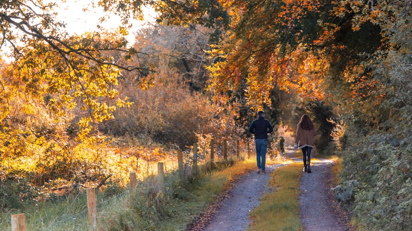
The town is thought to be about 250 years old, and the town and surrounding area are rich in archaeological heritage and well worth exploring.
A-B. Leaving the trailhead at the church, follow the purple arrows downhill on Clara Road and past the Industrial Estate. You are also following the yellow arrows of the long-distance Duhallow Way - you will leave this shortly. After 500m the roadway turns right and passes a grotto on your left - immediately afterwards turn sharp left onto a laneway called Singleton’s Road. Continue to follow the purple and yellow arrows uphill to reach an entrance to the forestry on your right. Turn right here.
B-C. Now follow the forestry roadway as it sweeps uphill. After 500m you exit the forestry over a stile on your left and follow the edge of forestry to reach a 3-way junction where the Duhallow Way turns right (into forestry) but you continue straight. This is the point from which the loop ‘proper’ begins - you will be returning to this point from the right later.
C-D. Another 500m takes you to a gateway - pass through it and join a track which begins to take you more steeply uphill along the edge of a wire fence. Keep close to the fence as the loop sweeps around the shoulder of Claragh. After 1km you reach a small metal gate - here the loop turns left and exits the gate - but you might enjoy taking a detour to the right and climbing to the summit of Claragh Mountain following white arrows. The return journey will take you 20-30mins.
D-E. After passing through the small gate, turn right and follow the track for 100m before turning left again and descending to reach a stile where the loop turns right. The next section takes you steeply downhill to rejoin the Duhallow Way at a green laneway where you turn right. Now follow the purple and yellow arrows as the loop swings around the shoulder of Claragh Mountain (on your right). Continue to follow the laneway for almost 2km - watch for a sharp right turn 100m after the second gateway. Eventually the loop rejoins the outward section at the junction mentioned at C above. This time turn left.
E-A. Follow the purple and yellow arrows as it descends through forestry, rejoins Singleton’s Road and turns left. At the end of Singletons Road turn right and enjoy the last 500m back to the trailhead.
Trail details
- Type:
- Walking Trail
- Location:
- Millstreet
- Grade:
- Strenuous
- Format:
- Loop
- Length:
- 8.60km
- Ascent:
- 360m
- Dogs allowed:
- Yes
This 10 km loop rewards you with stunning views of the North Cork landscape. Keep a look out for the Cillín - a famine graveyard.
